El Pallars Sobirà
Along with the region of Pallars Jussá forms the historical territory of Pallars. The district division of 1936 established the division of Pallars into two districts: Pallars Sobirà, which occupies the northern part (Sobirà means superior in Castilian) and Pallars Jussà (inferior), the southern one. The regional division restored after the establishment of the autonomy of Catalonia (1987), respected this division, according to the old County of Pallars Sobirà.
Bordered on the north by France (Midi-Pyrénées), on the east by the principality of Andorra (parish of La Massana), on the southeast by the district of Alto Urgel, on the south by the district of Pallars Jussá, on the southwest by the county of Alta Ribagorza and to the west with the Valley of Aran.
Its territory is very mountainous and difficult to access. It is the highest peak in Catalonia, the Pica d'Estats (3.143 m). It has a unique natural pass from the south, the Collegats gorge, in the Noguera Pallaresa valley. Also it is in the region most of the National Park of Aigüestortes and Lake of San Mauricio. It also has a rich pre-Romanesque and Romanesque heritage. Currently, most of its population is engaged in the services sector.
Wikipedia
Parc Nacional de Aigüestortes y Estany de Sant Maurici
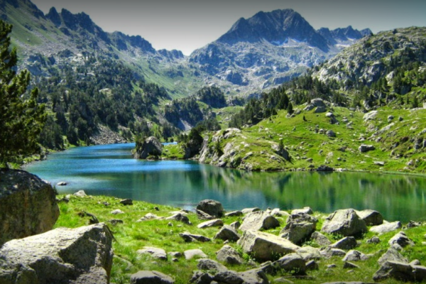 Summits that exceed three thousand meters in height; rivers, ravines, waterfalls and swamps that make us feel, truly, the country of water; more than 200 ponds of different shapes and colors, and a great diversity of animal and plant species that struggle to survive in a rigorous physical environment give life to this unique protected natural space of southern Europe.
Ecomuseu de les Valls d'Àneu
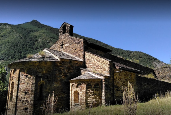 On June 1994 the Ecomuseum of the valleys of Àneu was opened to the public. Today this institution is a living entity that, from research, conservation, dissemination and restitution of our integral heritage, wants to participate and influence the economic and social development of the valleys of Àneu and, also, the rest of Pallars.
Casa de l'Ós Bru
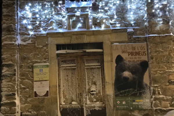 Beautiful thematic museum house on the brown bear of the Pyrenees. Audiovisual resources, photos, interactive activities and lots of interesting information. Perfect for a family visit.
Els Encantats
 Els Encantats are two spiers (or two peaks) located in the Pyrenees, south of Lake San Mauricio, to the right of the Escrita River, in an orographic sense. It is part of the head of the Noguera Pallaresa. Administratively the territory belongs to the municipality of Espot, in the region of Pallars Sobirá (province of Lleida, Catalonia, Spain) and is included in the national park of Aigüestortes and Lake of San Mauricio.
Coma Pedrosa
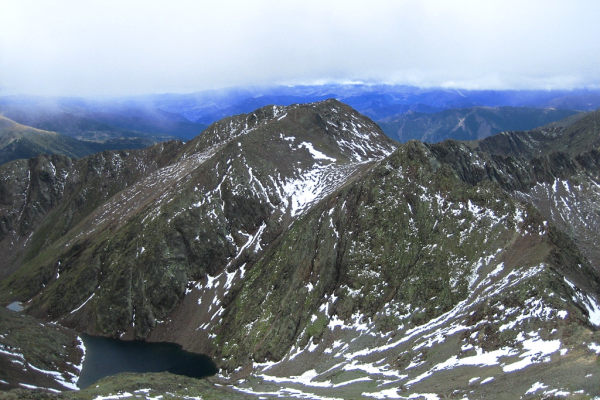 Coma Pedrosa, is the highest peak in the Principality of Andorra. It is located in the northwest of this small country and has an altitude of 2942 meters above sea level. The nearest town is Arinsal, in the parish of La Massana.
Parc Natural de l'Alt Pirineu
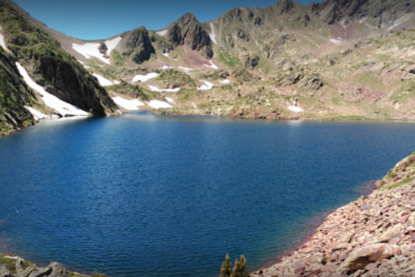 The Alt Pirineu Natural Park, created by Decree 194/2003, from 1 August, divides its territory by the counties of Pallars Sobirà and north of Alt Urgell and comprises a good part of the Catalan Axial Pyrenees. Its 69,850 ha, hectares make it the largest natural park in Catalonia and it is where the highest altitudes of the territory are located.


